
Horsham Township ZIP Code Coverage
Horsham Township is a 17-square-mile municipality with five postal-community areas, not one postal city. The township's official visitors information identifies Horsham with 19044 and portions of the Hatboro, Ambler, Chalfont, and North Wales ZIP areas. This ZIP code directory keeps the township's list intact while separating postal service from municipal jurisdiction. Use the full address to verify delivery, then use the parcel municipality and TAXPIN for county property work.
| ZIP Code | Areas Covered | Post Office | Notes |
|---|---|---|---|
| 19044 | Horsham community area | Horsham Post Office | Primary Horsham postal label. |
| 19040 | Portion of the township in the Hatboro ZIP area | Verify the delivery address with USPS | Postal Hatboro label may cross township limits. |
| 19002 | Portion of the township in the Ambler ZIP area | Verify the delivery address with USPS | Postal city is not proof of municipality. |
| 18914 | Portion of the township in the Chalfont ZIP area | Verify the delivery address with USPS | Postal coverage is not a parcel-jurisdiction boundary. |
| 19454 | Portion of the township in the North Wales ZIP area | Verify the delivery address with USPS | Use the county municipality for parcel research. |
A ZIP tells a mail-routing story. It does not establish that a property is inside Horsham Township. Conversely, a Horsham Township parcel can carry a Hatboro, Ambler, Chalfont, or North Wales postal label. County record forms and township records should be searched with the location they request, rather than with an assumed postal-city name.
Note: Keep the full postal address, county municipality, parcel identifier, and legal description together in each research note.
Five Horsham Township ZIP Codes
The Township visitors page is the local source for the five-area list. It is more reliable for this question than guessing from a town name in a mailing address. The 19044 label serves the Horsham community area. The remaining four ZIP areas identify portions of the township through neighboring postal communities. The research did not locate an official postal-boundary shapefile or a dated Horsham postal realignment notice, so there is no basis for claiming a split, a special institutional code, or a postal-area population count.
The official Horsham Township postal-coverage page lists the five community areas used in this ZIP code directory.
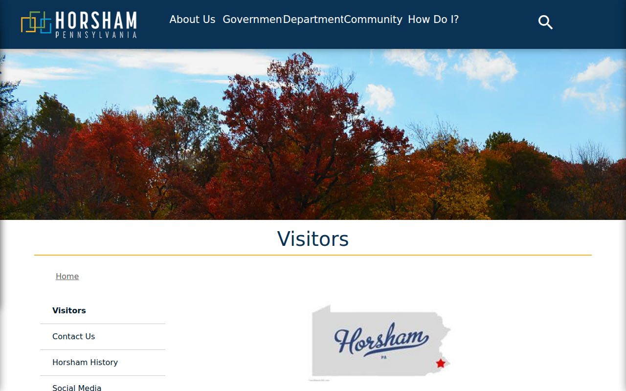
Use that local list as a starting point, then validate an individual delivery address before attaching a postal code to a record search or family-history note.
Find Residents by Horsham Township ZIP Code
Finding records within one postal area begins with the address, because the county systems documented for Horsham do not offer a verified ZIP-wide resident search. USPS can confirm the correct ZIP or ZIP+4 for a full address. Montgomery County Property Records can then search the physical address and, where appropriate, select HORSHAM as the municipality. That parcel result supplies a TAXPIN, which is the bridge to county GIS and the Recorder's recorded-document index. Each result remains an address or property lead, not a roster of every occupant.
- Use the complete street address in USPS ZIP Code Lookup to confirm its delivery ZIP and postal city.
- Search the physical address in Montgomery County Property Records, selecting HORSHAM in the municipality field when the parcel is in the township.
- Record the returned parcel ID, site address, and any legal-description or sales-information lead.
- Use the parcel ID in county GIS to view the parcel context, then use the address, parcel ID, or party criteria in Recorder Public Access for recorded instruments.
- Compare any dated record with its custody and purpose before drawing a conclusion about a household.
The USPS address lookup is the official full-address validation route.
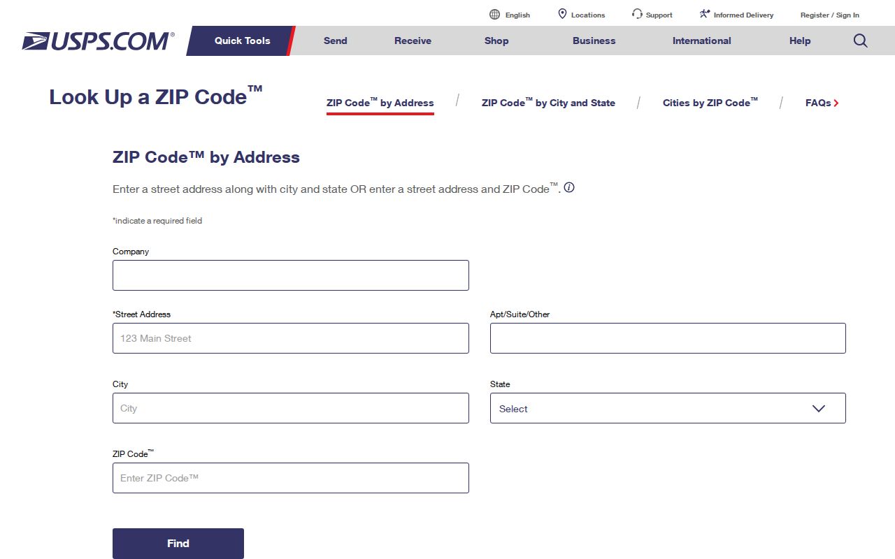
USPS validation settles the mailing label first. County parcel and recorded-document searches can then use the physical address, municipality, and parcel information they require.
Horsham Township ZIP Search Limits
The county assessment form is helpful after an address is known, but it is not a ZIP filter. Its documented address fields are Number, Direction, Street, Suffix, Unit, and Municipality. Street is the required field, and the municipality menu includes HORSHAM. The form also permits sorting results by Parcel ID, Owner Name, Property Address, Sales Date, Sales Amount, LUC, or alternate ID. Sorting by owner name does not restore owner-name querying, which the county discontinued for privacy reasons.
| Property Records field | Available input | Postal implication |
|---|---|---|
| Number and Street | Address text, with street required | Use after USPS confirms the full delivery address. |
| Direction, Suffix, Unit | Optional address refinements | These distinguish the physical address, not a postal area. |
| Municipality | Dropdown including HORSHAM | Use county municipal context instead of a postal-city assumption. |
| Parcel ID | Separate parcel route | Connects a known parcel to GIS and Recorder research. |
| ZIP field | Not shown on the documented form | No verified ZIP-wide assessment search is available. |
The Recorder's public instructions list name, address, and parcel ID criteria, while county GIS is parcel and spatial based. The research found no verified ZIP-wide filter on Property Records, the Recorder, voter-status tool, or GIS. This ZIP code directory states that limit plainly rather than promise a broad search that the portals do not document.
Horsham Township ZIP Address Flow
For a documented address trail, move from the postal label to the physical parcel. First validate the address with USPS. Next, use the Montgomery County Property Records address search with the known street and the HORSHAM municipality where applicable. Its record gives assessment context and a parcel ID. Then consult the county GIS and Open Data resources for parcel geometry and the TAXPIN, followed by the Recorder's Public Access System for a recorded-document trail.
The assessment portal is free after its public-use notice, but it accepts address and parcel searching rather than owner-name searching. The county says property records update weekly, maps daily, and photos quarterly. Those update schedules are helpful context, yet an assessment record is not title proof, a boundary survey, or a complete list of people at an address.
Postal ZIP and parcel municipality can legitimately disagree. The four-part identity is more reliable: physical or situs address, postal city and ZIP, TAXPIN and municipality, then legal description or plan and lot. A current county parcel map is informational, not a legal survey or a complete title search. A recorded party or an owner line also does not establish every person who lives at an address.
Once a ZIP has narrowed the address, the Horsham Township street directory supplies the separate street-by-street record method. It follows address-keyed sources rather than attempting to turn a postal area into a household list.
Note: A ZIP should validate mail delivery before county research, not replace the municipality or parcel identifier used by the county.
Horsham Township ZIP Boundary Differences
ZIP boundaries and Horsham Township limits answer different questions. A 19044 address is a primary Horsham postal label, but it is not alone proof that a parcel is within township borders. The township also includes areas using 19040, 19002, 18914, and 19454. When a county form asks for municipality, select or confirm HORSHAM from the county data. When mail delivery or a ZIP+4 is in doubt, return to USPS with the complete street address.
The USPS Horsham Post Office page confirms the 19044 location at 575 Horsham Road Unit D38 and lists its telephone number as 215-672-4780.
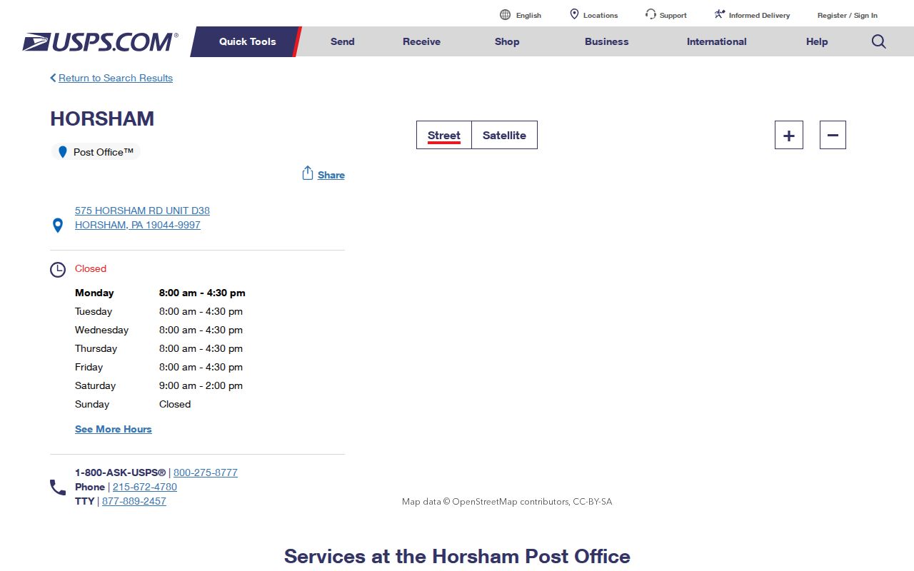
The location page confirms the 19044 postal service point, while the full-address USPS tool remains the right check for a particular delivery address.
Horsham Township ZIP Address Definitions
Postal terms can look like county-record fields, but they serve different purposes. Use them accurately when preserving an address from a deed, tax list, directory, permit file, or current parcel record. The official sources found no verified Horsham PO-box-only or unique institutional code, so those labels should not be assigned locally without a current USPS confirmation.
- ZIP code
- A postal routing code used with an address for mail delivery. It does not define a township boundary.
- ZIP+4
- An added four-digit delivery detail confirmed through USPS for a full address.
- PO-box ZIP
- A code used for post-office boxes. No Horsham-specific example was verified in the research.
- Unique ZIP
- A code assigned to one institution or organization. No Horsham-specific example was verified in the research.
- Carrier route
- A postal delivery grouping. It is not a county parcel identifier or a municipal boundary.
For records work, a parcel's TAXPIN and legal description often survive changes that complicate a mailing label. Preserve both the historical wording and the current validated address before trying to join old and new records.
Historic Horsham Township ZIP Geography
Horsham's postal mismatch is only one part of its changing address geography. The township says William Penn-era survey lines shaped County Line, Horsham, and Welsh Roads. It also describes Horshamville near Horsham and Easton Roads, then explains that Willow Grove Naval Air Station expansion closed Keith's Road and Privet Road and absorbed the hamlet. An older address may therefore need a road name, lot reference, map, tax-list entry, or deed description before it can be connected to a current postal code.
That history is a practical warning, not a reason to force an old road into today's postal form. Compare historic road names with parcel legal descriptions and dated local collections. The township's five postal areas add one more reason to preserve each source's original address exactly. Horsham's 2025 Comprehensive Plan also treats historic resources, transportation, development, parks, and land use as current township context. It can help explain a development era, but it does not replace the dated deed, map, tax, or archive record needed to establish an older address for local researchers.
Note: When a historical road is absent from a modern address search, retain its original spelling and check deeds, maps, tax material, and local archives.